Hobcaw Barony – Georgetown – Georgetown County
Basic Information
- Location – Waccamaw Neck, Georgetown, All Saints Waccamaw Parish, Georgetown County
The original lands of the barony were located one mile from the City of Georgetown off US 17 on the Waccamaw Neck, and were bordered by the Waccamaw River, Winyah Bay, and the Atlantic Ocean.
- Origin of name – "Hobcaw" is a Native American word meaning between the waters. The Waccamaw Neck, where the barony was located, is bordered by three bodies of water.
- Other names – ?
- Current status – Owned by the Belle W. Baruch Foundation and is open to the public for guided tours.
Timeline
- 1718 – John, Lord Carteret, one of the eight Lords Proprietors, claimed 12,000 acres on the Waccamaw Neck. His land became known as Hobcaw Barony (5, p. 3).
The Lords Proprietors were allowed to claim land free of charge and do as they wished with it. Lord Carteret never left England to see his property, therefore, it was never developed into a plantation.
- 1730 – Lord Carteret sold the barony to John Roberts for £500 (5, p. 3).
Roberts had the land resurveyed and discovered that he owned 13,970 acres instead of 12,000.
- ? – John Roberts sold the barony consisting of 13,970 acres to three London men: Sir William Baker, Nicholas Linwood, and Brice Fisher (5, p. 3).
Since the three men resided in England they appointed two agents to divide the barony and sell it. These smaller tracts of land were developed into the following plantations:
Calais Michau Strawberry Hill Friendfield Marietta Youngville Bellefield Oryzantia Crab Hall Alderly Forlorn Hope Rose Hill Clifton - 1905-1907 – Bernard M. Baruch, native of Camden, South Carolina and Wall Street millionaire, began to purchase the land that was once Hobcaw Barony. He was able to purchase all of the plantations listed above with the exception of Forlorn Hope, Rose Hill, and Clifton. He referred to his property as Hobcaw Barony (5, p. 53).
Baruch also purchased Cogdell Plantation and added it to his holdings even though it was never part of the original Hobcaw Barony.
- 1935-1943 – Bernard M. Baruch conveyed most of Hobcaw Barony to his daughter, Belle Wilcox Baruch (1, p. 42).
- 1956 – Belle Baruch created the Bernard M. Baruch Foundation to manage the barony as an educational center focusing on forestry and marine science (5, p. 54).
- 1964 – Belle Baruch died and her father decided to change the name of the foundation to the Belle W. Baruch Foundation. The foundation still exists today and continues to provide educational opportunities in wildlife conservation and research (1, p. 42).
Land
- Number of acres – 12,000 in 1718; 13,970 in 1730; 17,500 in 1935-present
Owners
- Chronological list – Lord John Carteret (1718-1730); John Roberts (1730-?); Sir William Baker, Nicholas Linwood, and Brice Fisher; Bernard M. Baruch (1907-1943); Belle Wilcox Baruch (1943-1964), Belle W. Baruch Foundation (1964-present, 2013)
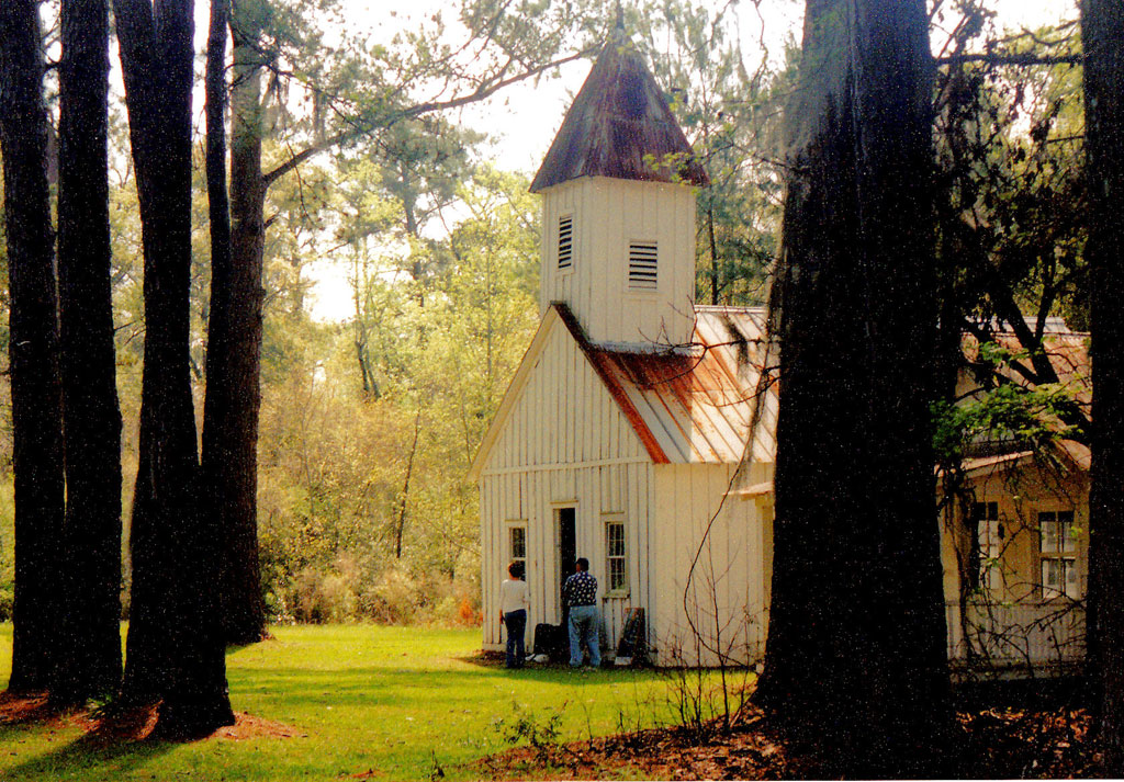
Buildings
- The buildings that make up Hobcaw Barony today consist of both historic and modern structures scattered throughout the property. These structures are listed in the Nomination Form for the National Register of Historic Places on pages 7-20. Click here to view the list.
References & Resources
- National Register of Historic Places
– Nomination form - PDF - submitted in 1994
– Photographs, architectural overview
- History of Hobcaw Barony: Click here
- Original, Historic Fabric Makes Hobcaw Barony Slave Cabin Stay Special - Joseph McGill, a program officer for the National Trust for Historic Preservation, documents his overnight stay in a slave cabin at Hobcaw Barony in August 2010.
- Alberta Morel Lachicotte, Georgetown Rice Plantations
(Georgetown, SC: Georgetown County Historical Society, 1993)
 Order Georgetown Rice Plantations
 - Suzanne Cameron Linder and Marta Leslie Thacker, Historical Atlas of the Rice Plantations of Georgetown County and the Santee River
(Columbia, SC: South Carolina Department of Archives and History, 2001)
Order Historical Atlas of the Rice Plantations of Georgetown County and the Santee River - Catherine Campart Messmer, South Carolina's Low Country - A Past Preserved Text (Orangeburg, SC: Sandlapper Publishing, 1988)
- George C. Rogers, Jr., The History of Georgetown County, South Carolina
(Spartanburg, SC: Reprint Company, 1990)
Order The History of Georgetown County, South Carolina
Contact Information
- Belle W. Baruch Foundation
22 Hobcaw Road
Georgetown, SC 29440
Telephone: 843-546-4623
Website: Click here